Total ascent today = 984 feet
Cumulative Finisterre miles = 60.1 miles
Cumulative distance = 550.6 miles
We're done! 550 miles on the Camino de Santiago de Compastella - across Spain from St. Jean de Pied de Port in France, to Finisterre, the western most point of land in Europe.


The day started overcast and cool, but that didn't dampen spirits as we headed around the harbor toward the next village, Corcubion.


Corcubion was getting ready for a medieval town festival this weekend, but nothing was open as we went through in the early morning.

It didn't take long to be shunted out the town's back door and out of sight.

Big yellow arrow showing us the way out of town between two tall walls.

This path led up and over the first hill of the day, and some great views.

At the top of the hill we ran into this lady and her little lambs.


Then the switch came out.
Hiking up the next mountain, we entered our final Concello - Concello de Fisterra.

We walked through the back streets to Estorde.


Then it was up and over the day's second hill, catching our first good view of Finesterre, shrouded in a cloud.

Finesterre is the town at the base of the far mountain. Our final destination was Cabo Fisterra, the lighthouse about one third of the way up the mountain, at the far left end of the land. We were relieved we didn't need to climb all the way to the top.

We came down the mountain directly onto the beach and walked through the sand for the two kilometers from Praia de Langosteira to Finesterre.


Once in Finesterre, we sought out the Albergue Municipal to collect our second Compostella. The Compostella is the certificate for completing an entire "pilgrimage." In this case, the hike away from Santiago to Finisterre is another pilgrimage on top of our hike from France to Santiago. A helpful pilgrim told us the albergue was closed until 1pm, so we decided to eat lunch first. A salad and some very good pulpo (octopus), had us ready for the afternoon.
A brief stop for the Compostella and we headed for our hotel - up a very steep hill and out of town. But the trip still wasn't complete. We wanted to finish at Cabo Fisterra, the lighthouse at the headlands. We asked our host the best way to go, and he advised that we take the northern pathway around the mountain - less people and no cars. As it turned out, this route was extremely remote and we saw no one the entire way
So off we went. There was some climbing to do, but we had all ready done a lot just getting to the hotel. We finally emerged from the tree-lined path to a spectacular view of both the "front" and "back" beaches to Finesterre. This is looking back over the town, away from our destination at the headland. The hike so far today had started behind the furthest mountain seen here, and the beach we walked in the morning is to the far right:

The path leveled out and turned into a jeep trail, and the view was great.


But then the road split, and the way markers told us to go UP! Way up. No! Not more up!

By the condition of the trail we could tell that it wasn't used often.

No wonder. It took us to the top of the mountain - the one we weren't going to climb.

This elevation gave a view of the lighthouse that not many people see.

We finally made our way down, stood in front of the 0 kilometer marker, visited the museum, and walked down the rocky outcropping to get as close to the "end of the world" as we could.


On the way back up we looked at all the boots, socks and shirts other peregrinos had left behind.

This is a brass boot, rooted above one of two fire pits that pilgrims use to burn articles or written statements of item or feelings they are ready to let go after the long pilgrimage.

The fire pit


Land side of the lighthouse and up a small hill is the peace pole, placed by the international World Peace Project.
We decided to take the less arduous route back to the hotel, not realizing that we would be on the road the whole way.
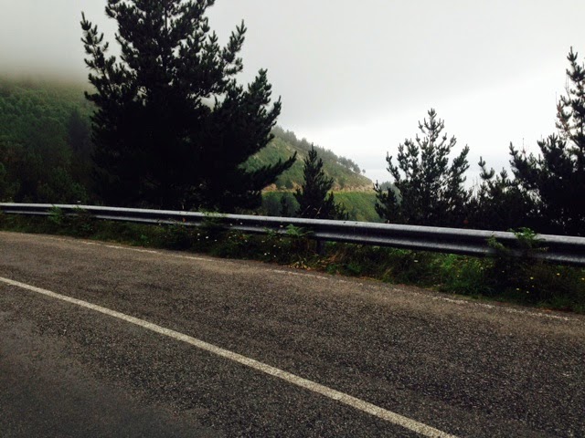
After 4 kilometers of whooshing cars, we finally got back to Finesterre, welcomed by this nice 12th century church:

Before descending all the way back down to sea level in town, We decided to check for an alternate route. We found one just past the church. It was a single track that led us through several farm plots, and past these watch sheep. Dave never suspected.

So we walked all the way from France to Finisterre. Having been to some of the world's amazing places and wonderful experiences, this hike was beyond special. We've been to other "ends of the earth" - places like Bluff in New Zealand and Cape Agulhas and the Cape of Good a Hope in South Africa. However, this was different. Our own two feet got us to this spot after hundreds of miles hiking in the footprints of knights, kings, hermits, world leaders, and regular pilgrims.
We saw history in a way that we never have before. The experience was made different by walking - hiking through the countryside and mountains leading to ancient cities, towns, villages, churches, chapels, cathedrals, and lonely pilgrim memorial crosses. The subtle regional differences came alive and sunk in because we saw it ten or fifteen miles per day.
We lit candles at the start and end for our friend, Triss Hyde, a Virginia judge, dad, husband, and all-around good guy who is battling terminal brain cancer. We had a few great meals, and some awful food along the way. At the end, we stood where the body of St. James supposedly came ashore on its way to Santiago, and the spot where John Adams disembarked when his ship started to leak - so he walked the Camino backwards to France in his mission to gain French support for the American Revolution.
Finisterre is also known as the Costa da Morte, or Death Coast. In pre-Roman times, when the earth was thought to be flat, this was the furthest known land - the western tip of Europe and the place where souls supposedly ascended to heaven. Today we stood there and reflected on our own personal Camino, souls intact, healthy and happy for the experience.
Tomorrow we will transfer back to the Santiago airport and pick up a rental car - seems like returning to the real world after not having driven a car since May 23 - what will that be like? We will relax and rest for a couple days at Parador de Siguenza, reputedly the finest parador in Spain. Paradors are hotels located in historic buildings that are owned by the government, usually castles, palaces, fortresses, convents, and monasteries. Siguenza is near Guadalajara in a converted mountaintop castle. Then we will spend a few days touring Madrid, and return home a week from today, on July 25.
Although our Camino ends here, and readers may want to check out, this blog is also a trip album, so I will keep it going for the next week to complete the record of our two months in Spain, for our family and our own travel record.
Wow ... I'm awestruck by this "final" posting of your foot-trek and appreciate your sharing the personal tribute for your friend. Relax, enjoy -- you've earned the time to prop up your feet and take a break.
ReplyDelete